John Roman on The Art of Illustrated Maps
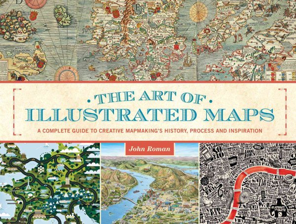
While literally hundreds of books exist on the subject of maps and cartography, "The Art of Illustrated Maps" is the first book ever to fully explore conceptual, “illustrated” mapping. Author, educator and map illustrator John Roman correlates not-to-scale maps as “the creative nonfiction of cartography,” and in this book he reveals how and why the human mind instinctively accepts the artistic license invoked in imaginative maps. Drawing from a wide range of references, "The Art of Illustrated Maps" traces the roots of this specialized art form’s two-thousand-year history, and through the works of numerous contemporary illustrators from around the world, documents the creative process of professional map artists as well as the inspirations behind 21st-century illustrated maps.
John Roman, a Boston-based map illustrator and graduate of Suffolk University’s New England School of Art & Design, has been teaching illustration for over twenty years at the Massachusetts College of Art.
The lecture, sponsored jointly by the New York Map Society and The New York Public Library, will be held in the Berger Forum at the New York Public Library's Stephen A. Schwarzman Building on 42nd St. and 5th Ave.
Admission is free.