Citizen Cartography @ NYPL Workshop: Tracing old New York
Date and Time
December 20, 2011
Event Details
Tuesday, December 20, 2011, 10:00 a.m. - 1:00 p.m.
15 Participants Maximum
Tracing old New York
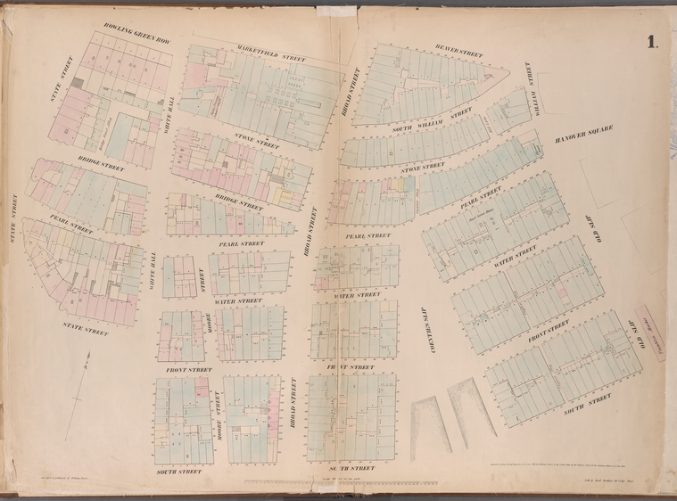
Many important buildings from New York’s landscape in the 19th and early 20th centuries are long gone, left only as traces on maps and collections throughout the NYPL. Using the drawing tool in maps.nypl.org, Citizen Cartographers will trace some of these important features from an early atlas such as Wm. Perris’ 1852 Maps of the City of New York. Only after we do this can we learn where to buy lumber or book a room or attend a play in 1852.
Background
The New York Public Library has created a new set of historical map tools available at maps.nypl.org that allow library staff and the general public add valuable geographic context to old maps. Make a difference in your community! Participate in our second Citizen Cartography @ NYPL Workshop.
Workshop Activities
Participants will learn how to trace information from maps using tools at maps.nypl.org, and in the process, create new resources to help researchers, students, geographers, urban planners, and the general public study early New York.
Agenda
Tuesday, December 20, 2011
10:00 am - 10:30am Introduction to Map Division and maps.nypl.org
10:30 am - 1:00pm Trace!
